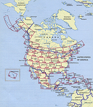
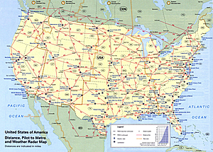
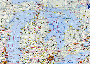
 Base cartography is the US Road-Atlas 1: 2.000.000 which includes mountain ranges, lakes, rivers, etc. . As well, all other elements such as, cities, towns. Parks and points of interest or historic value and of course, the railways and motor-ways themselves.
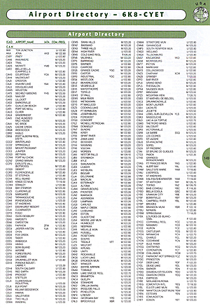
To this, we have added all airports in USA (over 5,500) and colour coded them by runway length /surface and category ,ie. International, Regional, Civil/Military, etc.. VOR/DME , Reporting points, Waypoints), Volmet frequencies and special Use Airspace are also shown making our new "Pilots' Atlas" the first of it’s kind.
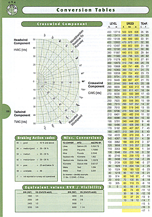
Pilots Atlas USA - Example pages

