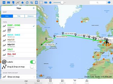
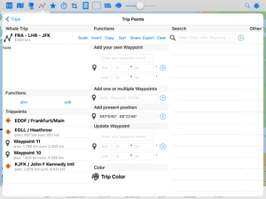
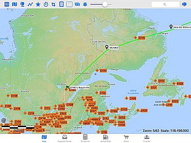
You can plan your trip with the trip-menu (pict. 1+2) or by typing on the map and use the menu in the 3rd picture (ad to trip or remove from trip). In the trip menu you have an overview over all your trips (you can select/ sort your trips by "date", "title" or "distance"). In this menu you are able to invert, copy, share, export or clear/delete the single trips.
You also can show all your trips on the map, the App will show each trip by a different color. With the button "Labels" you can switch on/ off the labels at the airports/ waypoints and navaids.

